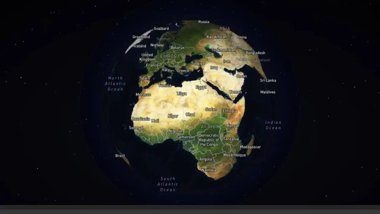
Geospatial intelligence is moving beyond traditional maps and satellite feeds to harness insights directly from images and videos. As enterprises grapple with vast volumes of visual data, AI-driven platforms that can pinpoint locations from visual cues are reshaping decision-making in security, investigations, logistics, and crisis response.
What Geospatial Intelligence Means for Business
Geospatial intelligence (GEOINT) combines imagery, geographic datasets, and contextual information to generate location-based insights. Once dominated by defence and government agencies, GEOINT now informs a wide spectrum of enterprise functions, including:
- Risk assessment and threat intelligence
- Supply chain and route optimisation
- Infrastructure planning and asset monitoring
- Digital investigations and fraud detection
- Market, environmental, and site analysis
With organisations increasingly drawing on visual sources—from social media posts to CCTV footage—the challenge has shifted from data collection to accurate, timely interpretation.
From Maps to Visual Intelligence
The current wave of innovation centres on extracting geolocation from the content of images themselves. AI models analyse architecture, terrain, vegetation, infrastructure, signage, and cultural markers to infer where a photo or video was captured, augmenting or, in some cases, replacing traditional map-first workflows.
GEOX AI’s Approach to Visual Geolocation
Developed by TraceX Labs, GEOX AI positions itself as an enterprise-grade platform that applies computer vision and multi-agent AI to generate precise or high-confidence geolocation estimates. By correlating visual patterns with geographic context, the system can surface candidate coordinates within seconds and explain the reasoning behind each result.
Key Capabilities
- Precise geolocation: Identifies likely coordinates using visual and contextual cues
- Interactive satellite mapping: Presents results on live maps with multiple views
- AI reasoning: Offers structured, transparent explanations of conclusions
- Multi-result intelligence: Ranks candidate locations by confidence
- Report-ready outputs: Exports findings for operational and audit needs
The platform is engineered for fast turnaround—often under 10 seconds in landmark-based scenarios—supporting time-sensitive operations where accuracy and usability are critical.
Use Cases Across Sectors
- Digital forensics: Trace the origin of images and videos for investigations
- Law enforcement and security: Support on-ground intelligence and casework
- Journalism and OSINT: Verify user-generated content and event locations
- Cyber threat intelligence: Assess visual signals linked to risk activity
- Crisis response: Rapidly geolocate incidents from public media
- Missing persons: Derive leads from limited visual evidence
By converting unstructured visuals into structured, map-ready intelligence, platforms like GEOX AI streamline geolocation workflows and reduce uncertainty.
How the Workflow Operates
- Upload media: Submit an image or video frame
- AI analysis: Multi-agent models process visual indicators
- Location output: Receive coordinates with confidence scores and reasoning
- Review and export: View results on a map and generate professional reports
This design lowers the barrier to adoption for cross-functional teams without specialist GEOINT training.
Enterprise Deployment and Scale
Access is provided to verified organisations, with credit-based usage and options for high-volume analysis. The platform supports global coverage, integrates with professional workflows, and offers structured reporting suitable for mission-critical environments.
Impact and Considerations
The rise of visual-first geospatial intelligence narrows the gap between raw imagery and actionable insight. While it enables faster verification and better situational awareness, it also underscores the need for responsible use, clarity on data provenance, and careful interpretation in public and private domains.
Outlook
As enterprises expand investment in AI-led analysis, extracting meaning from unstructured visual data is becoming core to operations. With a focus on speed, precision, and explainability, solutions such as GEOX AI highlight how images can be reliably transformed into location intelligence for real-world decisions.